Monday 20 July 2015

Bandar Seri Bagawan to Kuching

DAY 25, LEG 108 - Bandar Seri Bagawan to Kuching

Our second new country awaits us today - Malaysia, as we head south-west towards Kuching.  The city is located in the region of Sarawak, one of two on the Malaysian part of the island of Borneo.  Much like Bandar Seri Begawan, Kuching lies on a river, the Sarawak River, which splits the city in half.

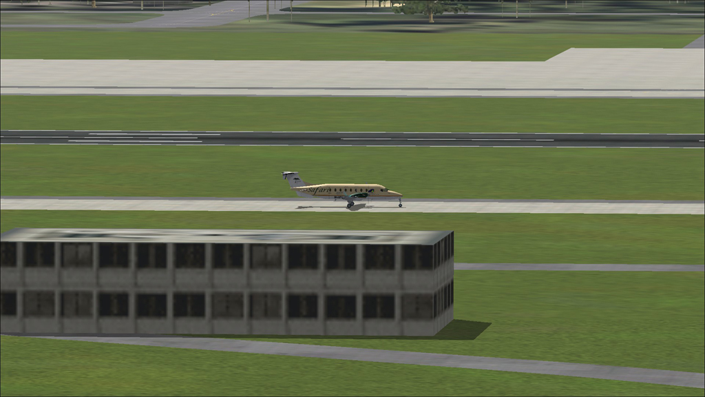
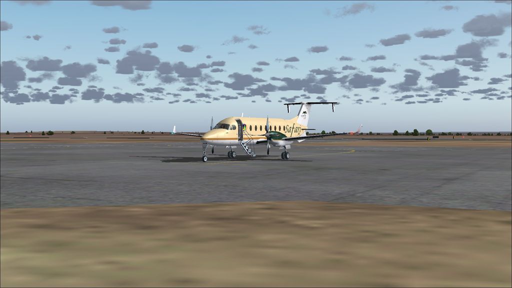
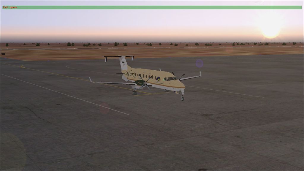
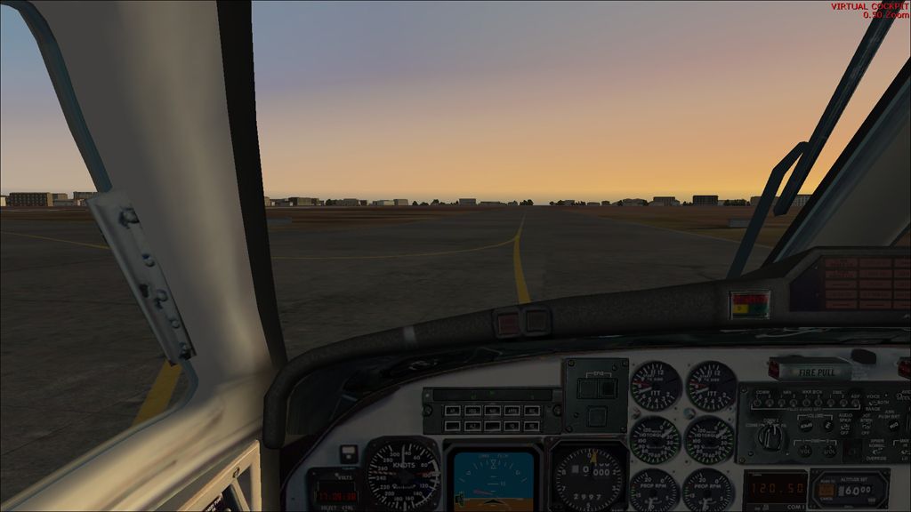
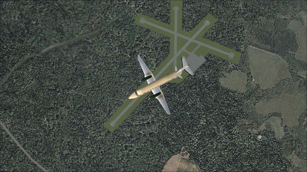
Taxi out at Bandar Seri Bagawan.

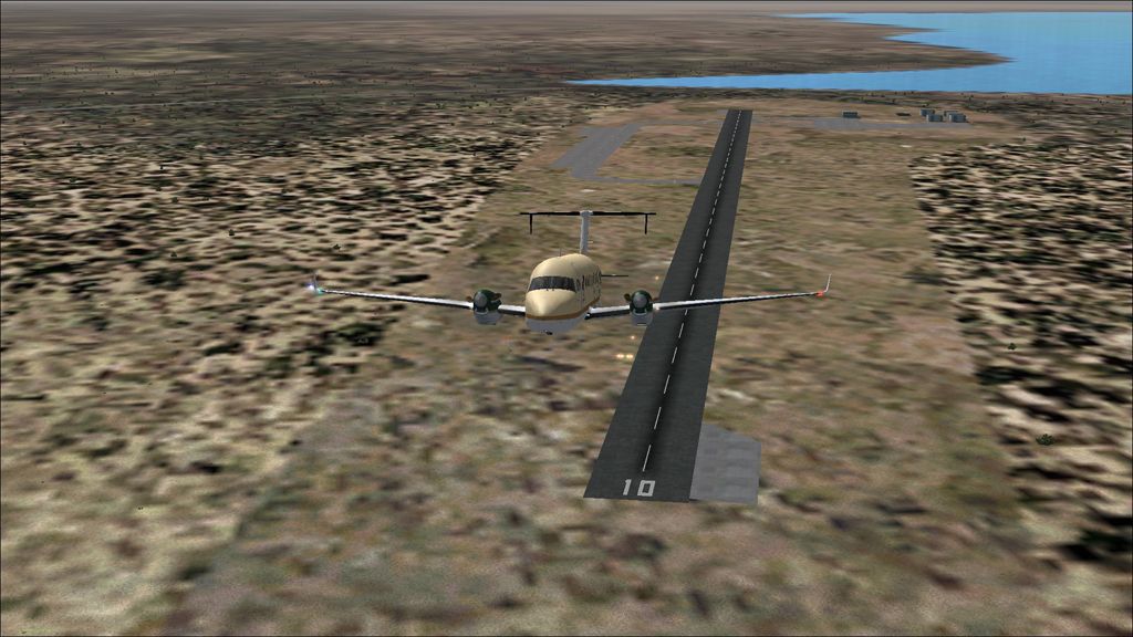
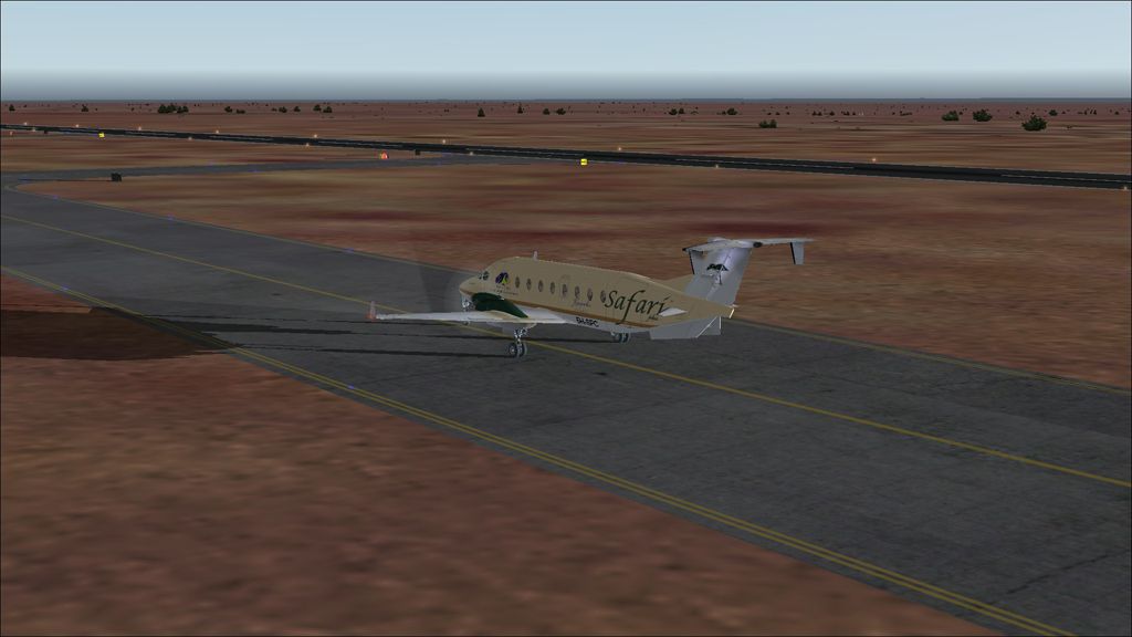
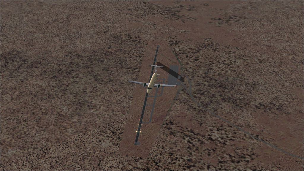
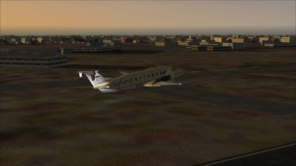
Takeoff from runway 21.

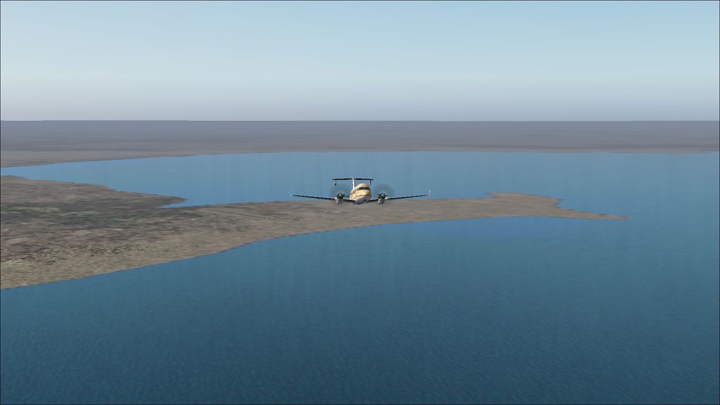
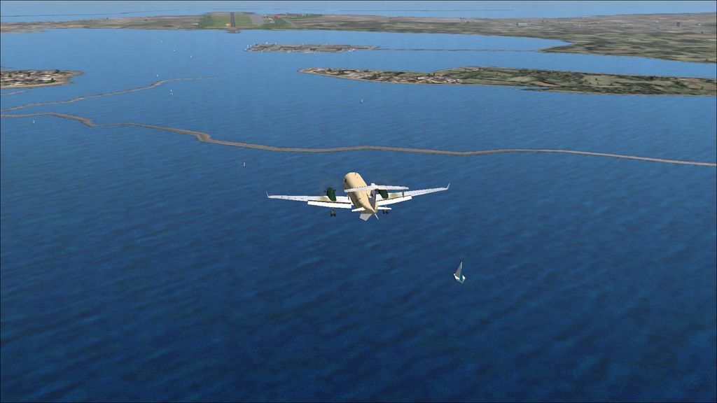
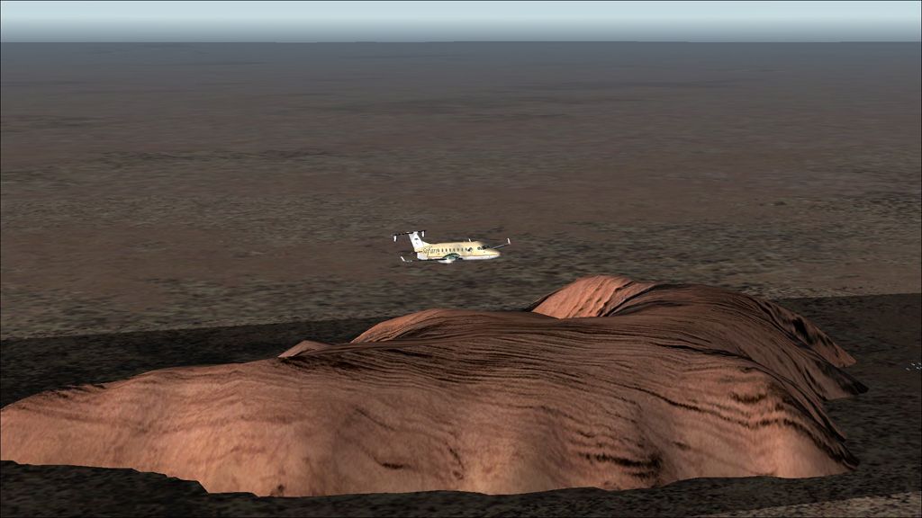
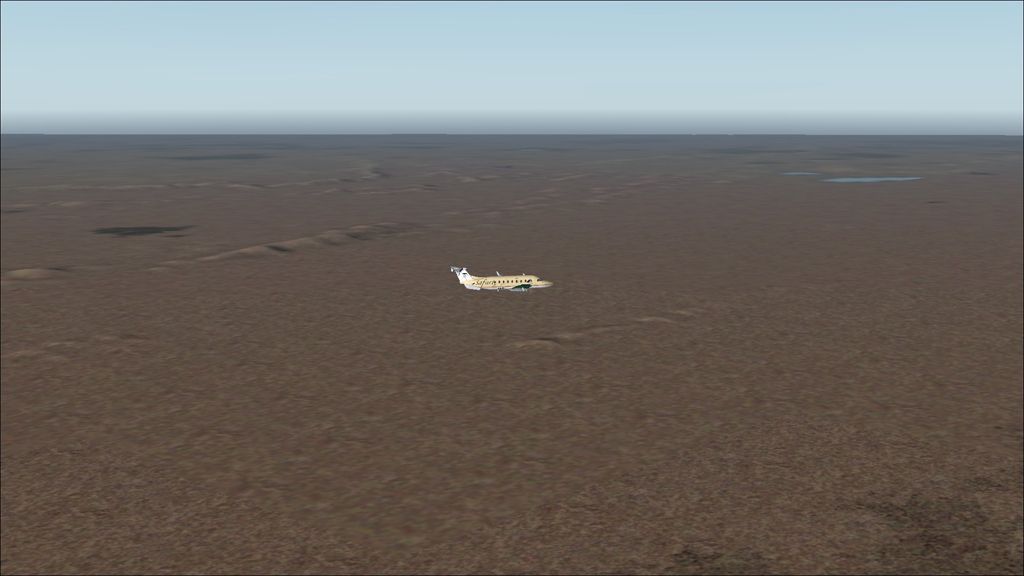
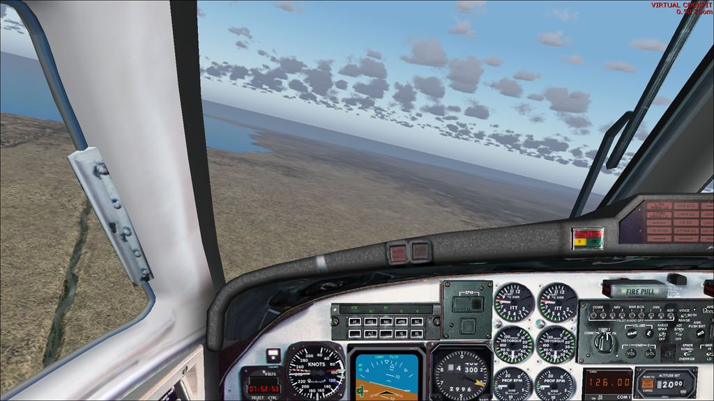
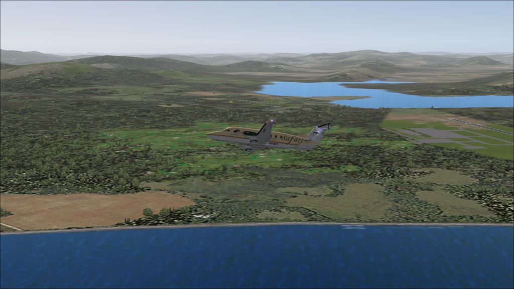
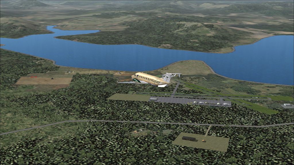
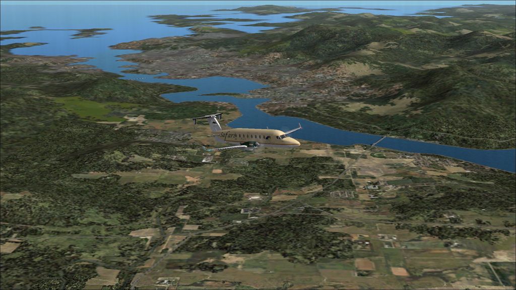
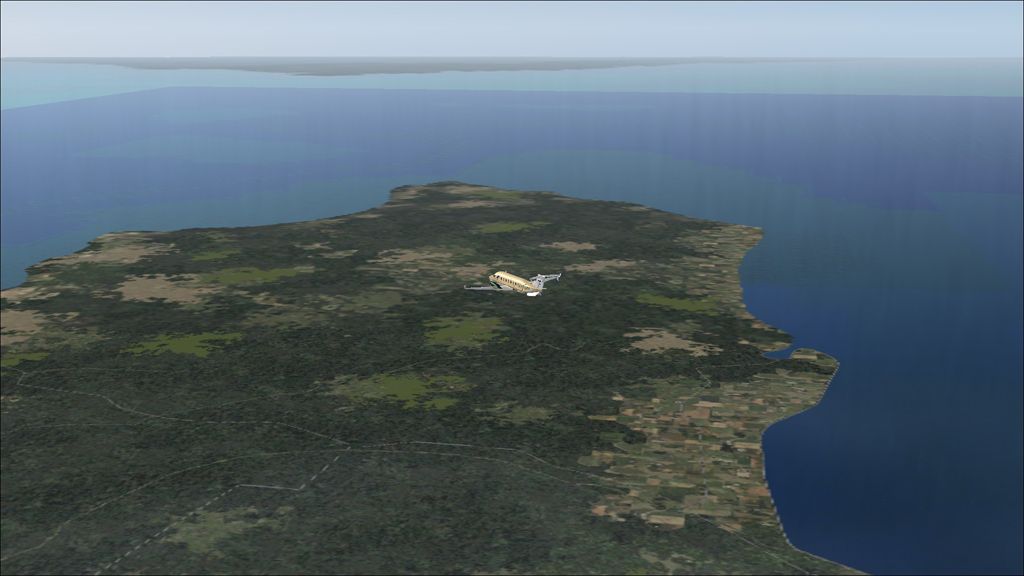
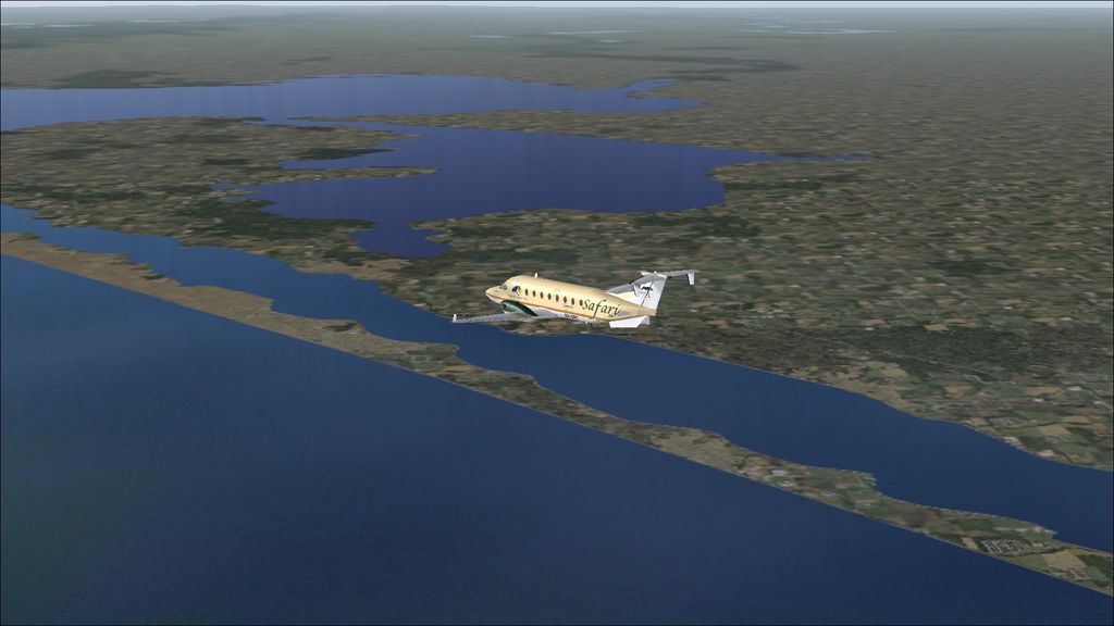
In the cruise at FL160 past the Baram River which marks the border between Brunei and Malaysia.

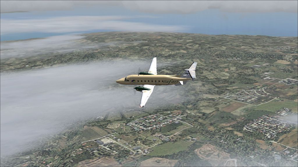
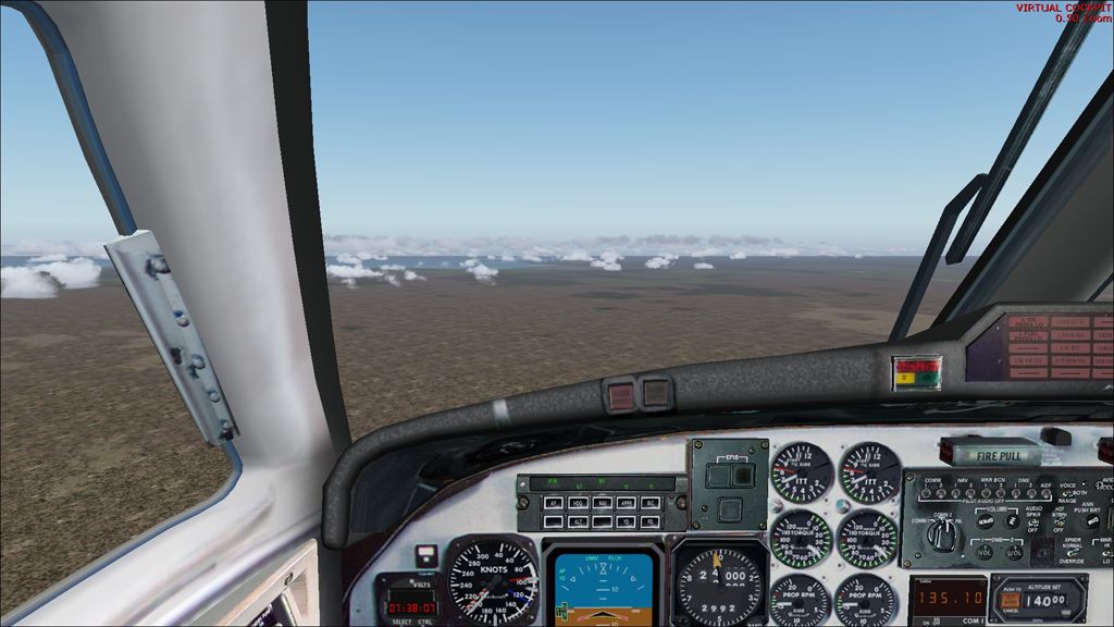
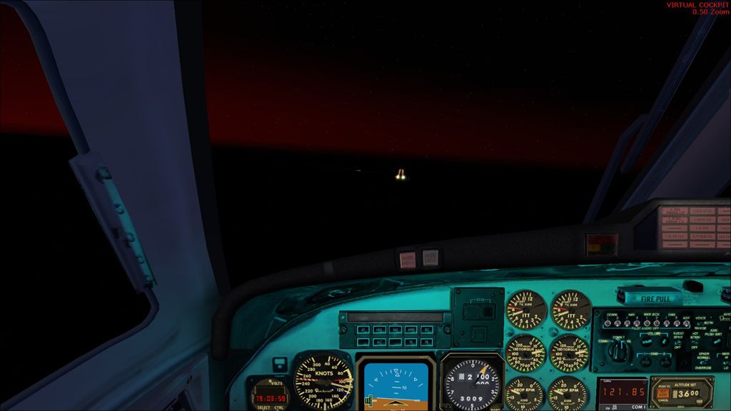
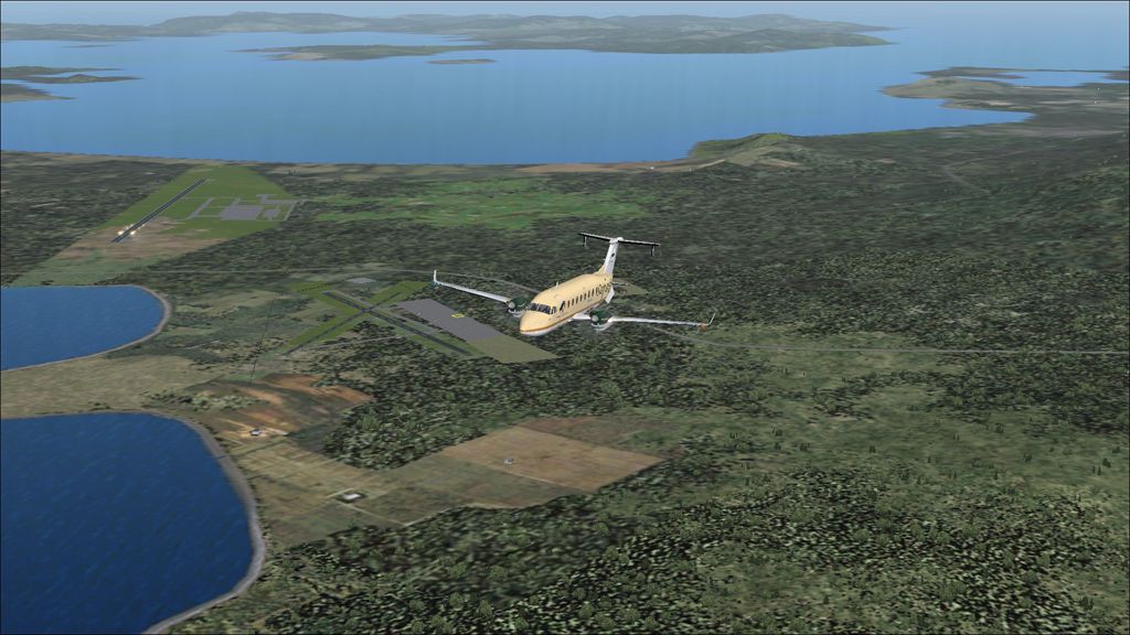
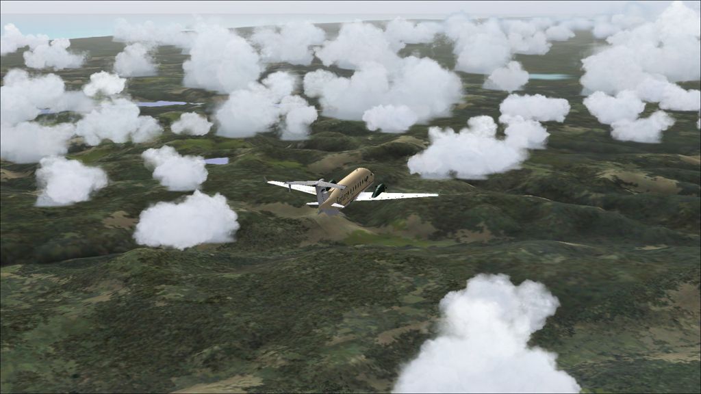
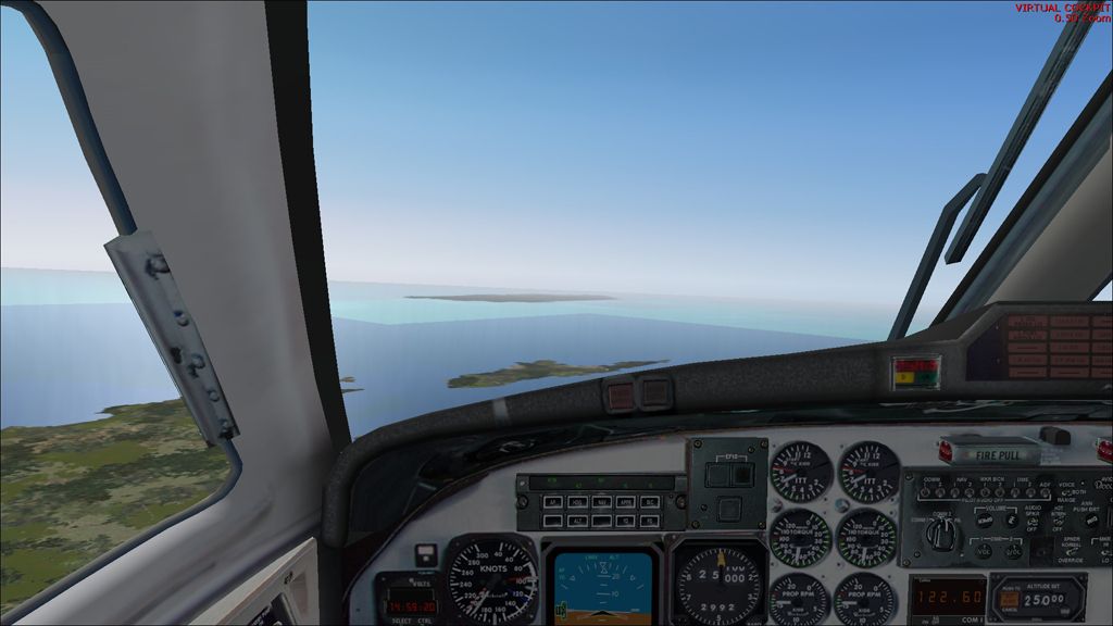
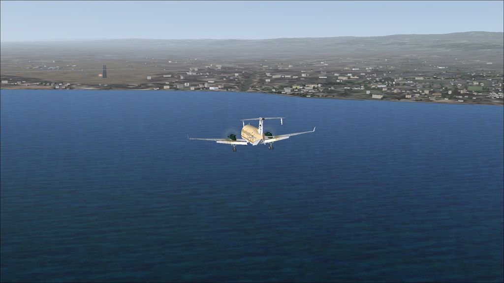
A hazy approach into Kuching today.

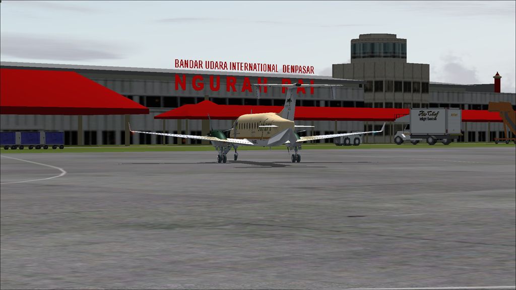
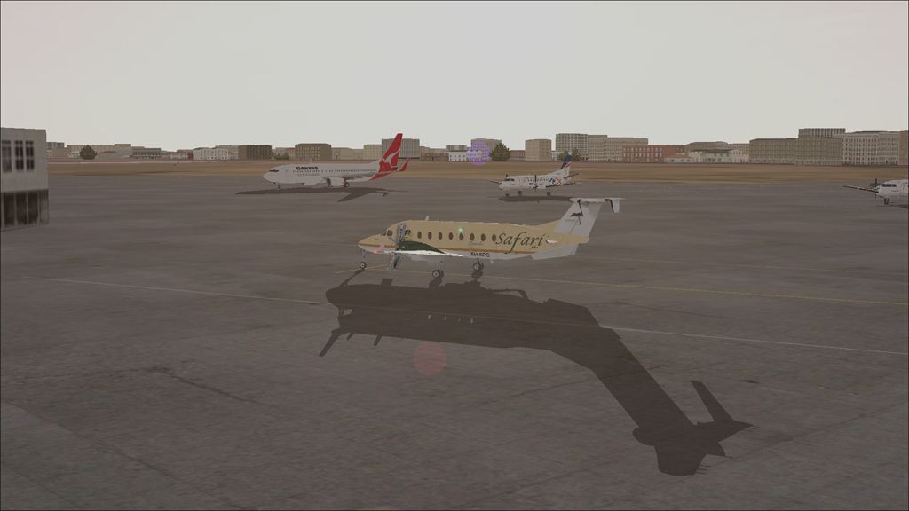
Safely parked at Kuching next to a Malaysian 737.

WBSB - WBGG stats

Takeoff time:  1330
Landing time:   1448
Flight time:      01:18
Fuel used:        699kgs / 1538lbs

Denpasar to Bandar Seri Begawan

DAY 25, LEG 107 - Denpasar to Bandar Seri Bagawan

Unfortunately there wasn't enough time to enjoy the beautiful tourist destination of Bali as it was time to head north further into South-East Asia.  The next leg takes us to Brunei, and its capital Bandar Seri Begawan.  The Sultanate of Brunei is a historic port city located in an enclave along the banks of the Brunei River and is surrounded by the Malaysian part of the island of Borneo.  The country is served by Bandar Seri Bagawan International Airport, home to Royal Brunei Airlines.  The flight takes us across the Java Sea northwards towards Borneo, overflying the jungles in the Indonesian centre of the island before crossing the border towards the Malaysian north, and then into Brunei.

Parked at Denpasar next to a line of Garuda 737-800s.

Takeoff from Denpasar.

Turning northwards towards the Java Sea.

Passing Mount Agung, the highest mountain on Bali.

Another view of Mount Agung as we climb away from Denpasar.

Finally the haze clears.

About to pass overhead Lakes Buyan and Beratan (left and right respectively).  The lakes are popular tourist resorts.

Approaching the island of Borneo having crossed the Java Sea.

The jungles of central Borneo.

Cruising past Long Atip Airport.

Radar vectoring towards Bendar Seri Bagawan.

Turning final.

Final runway 21.

Vacating the runway.

Parked after another successful leg.

WRRR - WBSB stats

Take off time:  1008
Landing time:   1310
F10light time:   3:02
Fuel used:        1283kgs / 2822lbs

Wednesday 24 September 2014

Broome to Denpasar

DAY 25, LEG 106 - Broome to Denpasar

It is finally time to head to a new country as our next destination is Denpasar, on the island of Bali, in Indonesia.  Bali is a beautiful island and a luxury holiday destination, particularly for Australian tourists.  The international airport is busy and hosts flights to several international destinations around the region.

Parked at Broome, fuelled up, and ready to go!

Departing Broome.

Leaving Australia behind for another long sea crossing towards Indonesia.

Turning onto the ILS over Nusa Penida island, to the east of Bali.

Final approach.

Parked at Bali.

YBRM - WRRR stats

Takeoff time:   0807
Landing time:   0942 (-1 hour time difference)
Flight time:      2:35
Fuel used:        1103kgs / 2426lbs

Ayers Rock to Broome

DAY 25, LEG 105 - Ayers Rock to Broome

An early start this morning to catch Uluru in the best light before heading north all the way along airway G222, towards Broome, our final stop in Australia.  Broome is a large tourist town in Western Australia and its airport serves many domestic destinations.

Parked in the morning light.

Taxi out.

Heading for Uluru.

Several views of Uluru before setting course for Broome.

Overhead Ayers Rock Airport and climbing up to our cruising level.

Lots and lots of nothing en route to Broome.

Starting our descent as the coast looms.

Turning final on the GPS approach to Broome.

YAYE - YBRM stats

Takeoff time:   0528
Landing time:   0758
Flight time:      2:30
Fuel used:       1035kgs / 2277lbs

Adelaide to Ayers Rock

DAY 24, LEG 104 - Adelaide to Ayers Rock

We head north into central Australia next and spend the night at one of our must-sees of the whole trip, Ayers Rock (Uluru).  Uluru is a large sandstone rock formation some 1140ft high and is one of the most recognisable landmarks in Australia.  The nearest major town is Alice Springs, 280 miles away, but the area is served by Ayers Rock Airport which ferries tourists to and from all major cities in the country to Uluru.  It is lit and has a GPS approach on each runway which will be useful for our night time arrival.

Taxi out at Adelaide in the sunset.

Takeoff from Adelaide Airport.

Dark night ahead of us.

Final approach to Ayers Rock Airport.  The rock is hidden in the night near our left wingtip.

Parked for the night.

YPAD - YAYE stats

Takeoff time:   1711
Landing time:   1905 (-1 hour time difference)
Flight time:      2:54
Fuel used:        1193kgs / 2624lbs

Hobart to Adelaide

DAY 24, LEG 103 - Hobart to Adelaide

We head over the beautiful scenery of Tasmania to Adelaide on mainland Australia.  The city is the capital of the state of South Australia and hosts the fifth busiest airport in the country.

Airborne from Hobart and turning on course.

Passing the smaller airport serving Hobart, Cambridge Airport.

Both Hobart airports behind us.

Passing the city on the other side of the River Derwent.

Flying over the various national parks that make up central Tasmania.

Leaving the north coast of Tasmania and heading towards King Island in the distance.

Over King Island.


Coroong National Park and Lake Alexandria on mainland Australia.

Final approach to Adelaide Airport.

Parked at Adelaide as the sun begins to set.

YMHB - YPAD stats

Takeoff time:   1412
Landing time:   1656
Flight time:      2:44
Fuel used:        1121kgs / 2466lbs